Around Castle Ring and Beaudesert Old Park
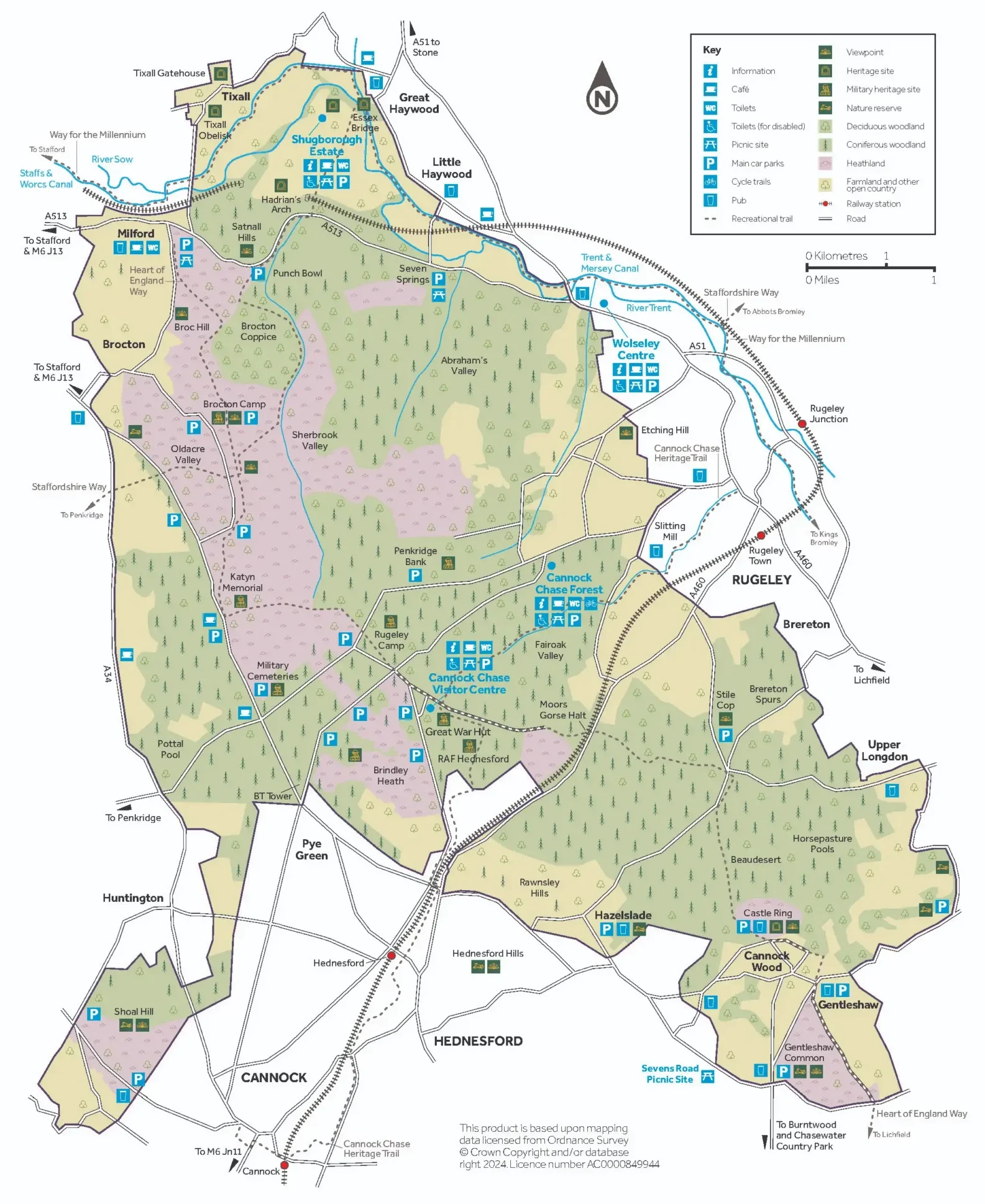
Distance: 5.25 miles | Start: Castle Ring car park | Grid ref: SK 044 126
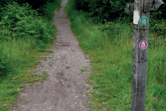
Around Rugeley Camp and Fairoak Valley
Distance: 4.75 miles | Start: Cannock Chase Visitor Centre | Grid Ref: SK 003 153

Brindley Heath Trails – Blue Trail and Red Trail
Distance: 1.25 – 2.25 miles | Start: Cannock Chase Visitor Centre (blue & red trails) / Brindley Village car park (green trail) | Grid Ref: SK 003 153

Brindley Heath Trails – Green Trail
Distance: 1.25 – 2.25 miles | Start: Cannock Chase Visitor Centre (blue & red trails) / Brindley Village car park (green trail) | Grid Ref: SK 003 153

Cannock Chase Heritage Trail
Cannock Chase Heritage Trail is a 10-mile route linking the towns of Cannock, Hednesford and Rugeley.
Milford Common trails
Distance: 2 miles | Start: Milford Common Car Park | Grid Ref: SJ 973 211
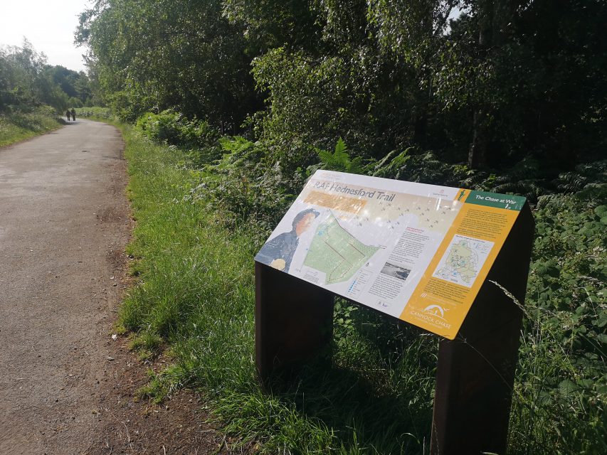
RAF Hednesford Trail
Distance: 2 miles | Start: Cannock Chase Visitor Centre | Grid Ref: SK 003 153
Rugeley and Cannock Chase Forest
Distance: 9.25 miles | Start: Rugeley town train station | Grid Ref: SK 043 174
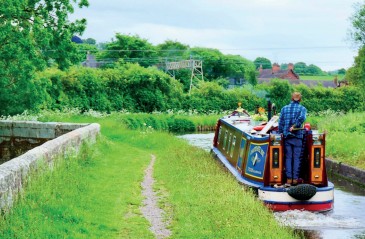
Sow Valley
Distance: 8.25 miles | Start: Punch Bowl car park | Grid Ref: SJ 983 207
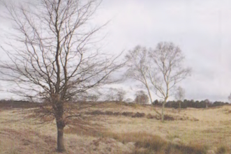
The Cannock Chase Geotrail
Distance: 22.3 miles | Start: Satnall Hills Quarry | Grid Ref: SJ 983 208
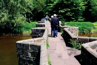
Tixall and Shugborough
Distance: 5.5 miles / 7.5 miles | Start: Punch Bowl car park | Grid Ref: SJ 983 207
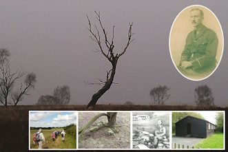
Tolkien Trail – Cannock Chase walk and Great Haywood walk
Distance: over 30 miles | Start: Coppice Hill / Penkridge Library | Grid Ref: SJ 771 441 / SJ 925 141
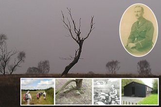
Tolkien Trail – Gypsy Green/Brocton Camp Walk
Distance: over 30 miles | Start: Coppice Hill / Penkridge Library | Grid Ref: SJ 771 441 / SJ 925 141
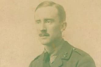
Tolkien walks
Distance: 1 mile / 2 miles | Start: Memorial Hall Great Haywood | Grid Ref: SJ 99786 22569
Wolseley and the Trent Valley
Distance: 6.5 miles | Start: Seven Springs car park | Grid Ref: SK 004 205